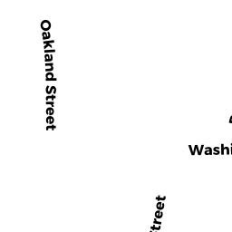
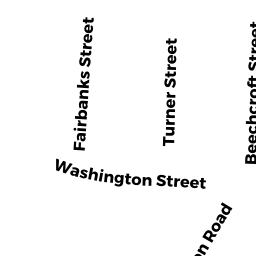
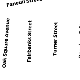
389397 Washington ST
Owner Information
THREE-89-397 WASHINGTON ST LLC
25 KENSINGTON CI
CHESTNUT HILL, MA 02467


Property Details
389397 Washington ST is classified as a IMPUTED - Commercial (Strip retail/ office).
The primary structure on this property was built in 1930. There are 8,588ft2 of built area within this property. There is 4,294ft2 of residential/living space within this property.
389397 Washington ST is valued at $1,005,800. The land is valued at $388,000 and the structures are valued at $617,800.
The most recent deed for 389397 Washington ST is recorded at the local registrar in Book 45581, Page 013. 389397 Washington ST was last sold on Tuesday, October 6, 2009 for $9.
Assessment data from fiscal year 2020.
Flood Data
According to the FEMA National Flood Hazard Layer, this property does not appear to be in a flood zone. It may also be in an area not yet reviewed. Nonetheless, confirm this information prior to taking any action.
To view the flood hazards around this property, create a FEMA "Firmette" Map of the area around 389397 Washington ST.
Broadband Internet Providers
| Provider | Type | Bandwidth (mbps) | |
|---|---|---|---|
| RCN | Cable | 1000 | 20 |
| RCN | Cable | 500 | 20 |
| Verizon New England Inc. | DSL | 15 | 1 |
| USAi.net, Inc. | Fixed Wireless | 0 | 0 |
| Viasat Inc | Satellite | 100 | 3 |
| VSAT Systems, LLC. | Satellite | 2 | 1 |
| HughesNet | Satellite | 25 | 3 |
| GCI Communication Corp. | Satellite | 0 | 0 |
| T-Mobile | Fixed Wireless | 25 | 3 |
| Starry, Inc. | Fixed Wireless | 200 | 200 |
| Comcast | Cable | 1000 | 35 |
| Verizon New England Inc. | Fiber | 940 | 880 |
Broadband service provider data from December 2020.